-
 ×
- Start
- Kunstafdrukken ▸
- Artiesten ▸
- Categorieën ▸
- Kunststijlen ▸
- Fotolijst ▸
- Drukwerk ▸
- Alle drukmedia
- Canvas Leonardo (satijn)
- Canvas Salvador (mat)
- Canvas Raphael (mat)
- FineArt Photo mat
- FineArt Photo satin
- FineArt Photo baryte
- FineArt Photo glossy
- Aquarel Karton Munch
- Aquarel Karton Renoir
- Aquarel Karton Turner
- Aquarel Karton Dürer
- Natural Line Hemp
- Natural Line Rice
- Kozo White, 110g
- Kozo Natural, 110g
- Inbe White, 125g
- Unryu, 55g
- Bamboo, 110g
- Premio Unryu, 165g
- Murakumo Natural, 42g
- Bizan Natural, 300g
- Bizan White, 300g
- Aluminium composiet 3mm
- Plexiglas 5mm
- Bestel een set samples
- Welk printmedium past?
Linnen
Fotopapier
Aquarelkarton
Natural Line
Japans papier
Speciale media
Meer informatie
- Hulp & Service ▸
- Neem contact met ons op
- Verkoop je kunst
- Veelgestelde vragen
- Openstaande functies
- Klacht
- Voorbeelden bestellen
- Waardebonnen bestellen
- Verzendkosten
- Productietijd
- Duurzaamheid
- Beeldonderzoek
- Speciale verzoeken
- Wie zijn wij?
- Prijsbeleid
- Bedrijfsbeleid
- Kwaliteitsbelofte
- Onderscheidingen
- Spieraam
- Passe-partouts
- Decoratieve lijsten
- Beglazing
- Fillets
- Ophangsystemen
- Drukmedia
- Verzorgingstips
- Impressum
- Algemene Voorwaarden
- Gegevensbescherming
- Annulatierecht
Informatie & Service
Meer informatie
Wetenswaardigheden
Legale informatie
- Shop ▸
- Contact






 Bekijk in 3D / AR
 Toevoegen aan favorieten
 Kies achtergrondkleur
 Aanschouw het schilderij in een ruimte

.jpg "Detail van een kopie van een Catalaanse kaart van Europa en Noord-Afrika, aangeboden aan Karel V van Frankrijk in 1381")
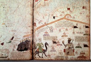
 (detail of 151844) - (MeisterDrucke-38188).jpg "Detail uit de Catalaanse Atlas, 1375 (detail van 151844)")
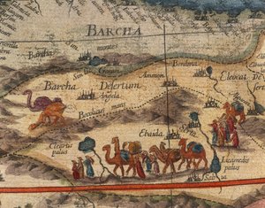
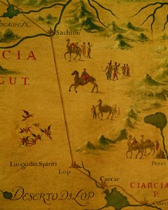
 (detail from 330922) - (MeisterDrucke-92751).jpg "De Noordkust van Afrika, uit een nautische atlas, 1651 (detail)")
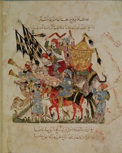
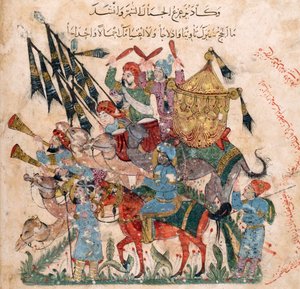
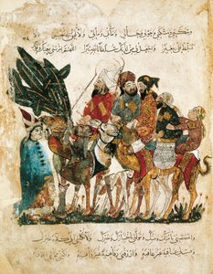
 by Al-Hariri c1240 (gouache on vellum) - (MeisterDrucke-111982).jpg "Ms c-23 f.12a, Een karavaanstop, uit")
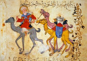
.jpg "Een Arabische handelaar op een kameel (detail)")
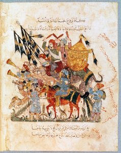
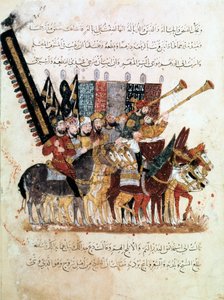
.jpg "Ms Ar 3229 f.117, Groep ruiters, miniatuur uit Al Maqamat (De Bijeenkomsten) door Al-Hariri")
.jpg "De strijd van Layla")
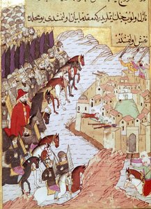
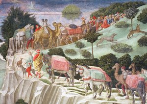
 by Al-Hariri c1240 (gouache on vellum) - (MeisterDrucke-112530).jpg "Viering van het einde van de Ramadan, uit")
.jpg "Een miniatuur ruiter uit het manuscript")
 by Al-Hariri c1240 - (MeisterDrucke-86046).jpg "Ms Ar 5847 f.138, Abu Zayd en Al-Harith ondervragen dorpelingen, uit")
 (detail from 330919) - (MeisterDrucke-120357).jpg "De Steden Marseille en Genua met hun havens, uit een nautische atlas, 1651 (detail)")
.jpg "Majnun kijkt naar de strijd tussen Nawfal en de stam van Laila door een Iraanse meester")
.jpg "Blad uit de Morgan Picture Bible")
.jpg "Ms Ar 5847 f.134, In de woestijn ontdekt Al-Harith Abou Zayd slapend, Al Maqamat door Al Hariri, ca. 1240")
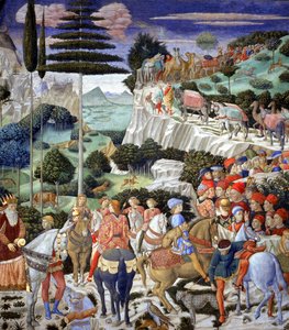
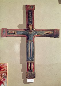
.jpg "Het martelaarschap van de heilige Margaretha, de heilige wordt gemarteld en vervolgens onthoofd, detail")
.jpg "Martelaarschap van de heilige Clemens, detail van een altaarfront met scènes uit het leven van de heilige Clemens, uit de kerk van Sant Climent de Taüll, Vall de Boí, Alta Ribagorça, tweede helft van de 13e eeuw")
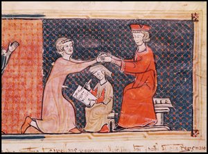
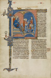
.jpg "Christus in majesteit, uit de kerk van San Clemente de Tahull, Lleida, Spanje")
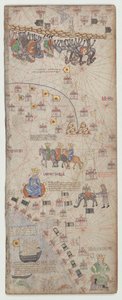
.jpg "7249 Esp.30 f.2v-3 Detail van een Catalaanse wereldkaart, 1375")
 - (MeisterDrucke-52967).jpg "De vlucht naar Egypte, detail van een aan de Maagd gewijd altaarstuk")
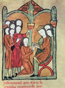
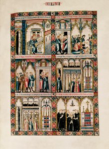
_Bishop_of_Carthage_brought_before_Emperor_Valerian_(r253-6_-_(MeisterDrucke-1422114).jpg "St. Cyprianus (c.200-258) Bisschop van Carthago voor Keizer Valerianus (r.253-60) 1300-25")
 - (MeisterDrucke-98621).jpg "Altaarfront met scènes uit het leven van de heilige Clemens, uit de kerk van Sant Climent de Taüll, Vall de Boí, Alta Ribagorça, tweede helft van de 13e eeuw")

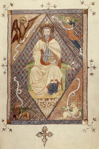
.jpg "De Boulevard Montmartre bij nacht")
.jpg "De waterlelijver")
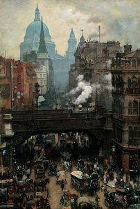
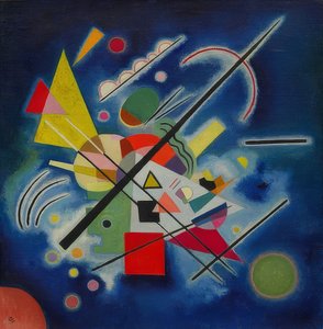
.jpg "Winters landschap bij volle maan")
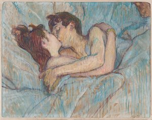
.jpg "Filosofie")
.jpg "Wandelende schaduwen")
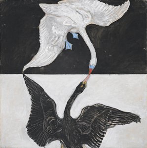
.jpg "De val van de verdoemden in de hel")

 +43 4257 29415
 support@meisterdrucke.com
 Mo-Do: 7:00 - 16:00 | Fr: 7:00 - 13:00