-
 ×
- Start
- Kunstafdrukken ▸
- Artiesten ▸
- Categorieën ▸
- Kunststijlen ▸
- Fotolijst ▸
- Drukwerk ▸
- Alle drukmedia
- Canvas Leonardo (satijn)
- Canvas Salvador (mat)
- Canvas Raphael (mat)
- FineArt Photo mat
- FineArt Photo satin
- FineArt Photo baryte
- FineArt Photo glossy
- Aquarel Karton Munch
- Aquarel Karton Renoir
- Aquarel Karton Turner
- Aquarel Karton Dürer
- Natural Line Hemp
- Natural Line Rice
- Kozo White, 110g
- Kozo Natural, 110g
- Inbe White, 125g
- Unryu, 55g
- Bamboo, 110g
- Premio Unryu, 165g
- Murakumo Natural, 42g
- Bizan Natural, 300g
- Bizan White, 300g
- Aluminium composiet 3mm
- Plexiglas 5mm
- Bestel een set samples
- Welk printmedium past?
Linnen
Fotopapier
Aquarelkarton
Natural Line
Japans papier
Speciale media
Meer informatie
- Hulp & Service ▸
- Neem contact met ons op
- Verkoop je kunst
- Veelgestelde vragen
- Openstaande functies
- Klacht
- Voorbeelden bestellen
- Waardebonnen bestellen
- Verzendkosten
- Productietijd
- Duurzaamheid
- Beeldonderzoek
- Speciale verzoeken
- Wie zijn wij?
- Prijsbeleid
- Bedrijfsbeleid
- Kwaliteitsbelofte
- Onderscheidingen
- Spieraam
- Passe-partouts
- Decoratieve lijsten
- Beglazing
- Fillets
- Ophangsystemen
- Drukmedia
- Verzorgingstips
- Impressum
- Algemene Voorwaarden
- Gegevensbescherming
- Annulatierecht
Informatie & Service
Meer informatie
Wetenswaardigheden
Legale informatie
- Shop ▸
- Contact





 Bekijk in 3D / AR
 Toevoegen aan favorieten
 Kies achtergrondkleur
 Aanschouw het schilderij in een ruimte
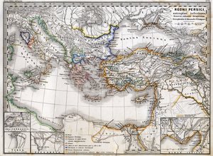

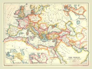
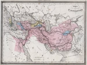
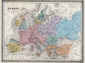
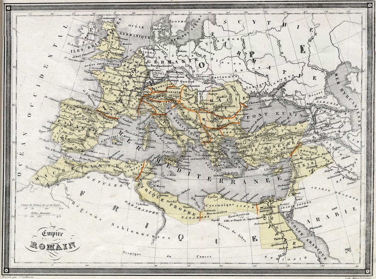
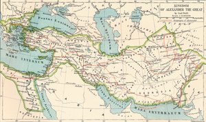
.jpg "Imperia van de Perzen en Macedoniërs")
.jpg "West-Azië")
.jpg "Ottomaanse Rijk in 1696 door Jaillot (de Middellandse Zee Zeer Hoge Definitie)")
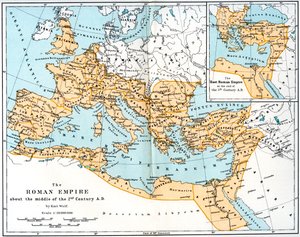
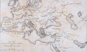
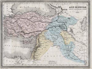
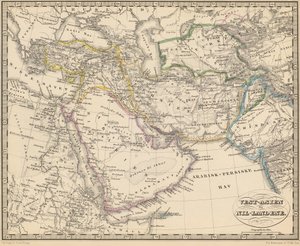
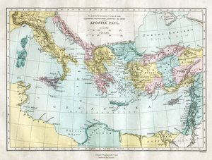
.jpg "Landen bezocht door de apostelen en de reizen van St. Paulus tussen Azië en Europa")
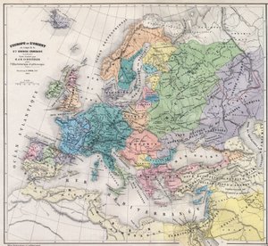
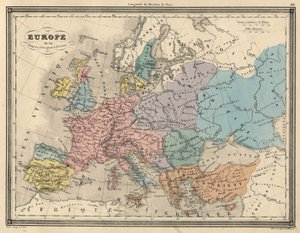
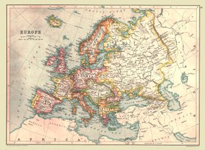
.jpg "Kaart van Europa, 1841")

.jpg "Imperia Persarum et Macedonum")
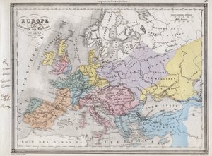
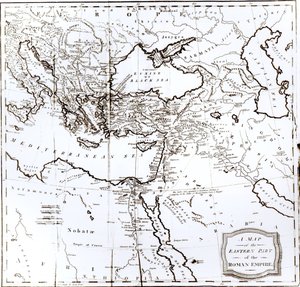
.jpg "Kaart van Europa, Noord-Afrika en West-Azië, Orbis Veteribus Notus, uit")
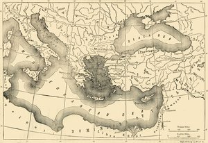
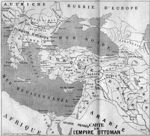
.jpg "Het Rijk van Karel de Grote, uit Atlas Historique et Pittoresque, door M J-H Schnitzler, 1857")
_De_Architectura_(On_Architec_-_(MeisterDrucke-1512626).jpg "VITRUVIUS, Marcus Vitruvius Pollio (1e eeuw v.Chr.). «De Architectura» (Over architectuur), met Spaanse vertaling door Miguel de Urrea. Uitgegeven in Alcalá de Henares door Juan Gracián (1582). Illustratie van pagina 35 met de canon van het menselijk")
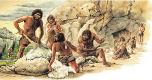
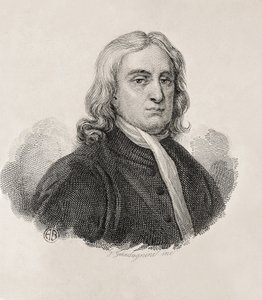

_-_Captain_Edward_Teach_(Thatch)_dit_Barbe_-_(MeisterDrucke-1635205).jpg "Edward „Blackbeard” Teach (1680? - 1718) - Kapitein Edward Teach (Thatch), genaamd Barbenoire (Black Beard of Blackbeard)")

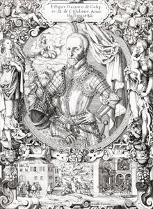
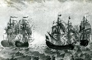

.jpg "Benedictijner monnik met wijn bij de ochtendborrel")
.jpg "De kus, 1907-08, detail van 601")
.jpg "Danaë, 1891")
.jpg "Sint-Thomas van Aquino")
 for a production in Berlin 1816 (wc) - (MeisterDrucke-58854).jpg "Het paleis van de Koningin van de Nacht, decorontwerp voor")
 c1905-09 (tempera wc) - (MeisterDrucke-73796).jpg "Levensboom (Stocletfries)")
.jpg "Lente")

 +43 4257 29415
 support@meisterdrucke.com
 Mo-Do: 7:00 - 16:00 | Fr: 7:00 - 13:00