-
 ×
- Start
- Kunstafdrukken ▸
- Artiesten ▸
- Categorieën ▸
- Kunststijlen ▸
- Fotolijst ▸
- Drukwerk ▸
- Alle drukmedia
- Canvas Leonardo (satijn)
- Canvas Salvador (mat)
- Canvas Raphael (mat)
- FineArt Photo mat
- FineArt Photo satin
- FineArt Photo baryte
- FineArt Photo glossy
- Aquarel Karton Munch
- Aquarel Karton Renoir
- Aquarel Karton Turner
- Aquarel Karton Dürer
- Natural Line Hemp
- Natural Line Rice
- Kozo White, 110g
- Kozo Natural, 110g
- Inbe White, 125g
- Unryu, 55g
- Bamboo, 110g
- Premio Unryu, 165g
- Murakumo Natural, 42g
- Bizan Natural, 300g
- Bizan White, 300g
- Aluminium composiet 3mm
- Plexiglas 5mm
- Bestel een set samples
- Welk printmedium past?
Linnen
Fotopapier
Aquarelkarton
Natural Line
Japans papier
Speciale media
Meer informatie
- Hulp & Service ▸
- Neem contact met ons op
- Verkoop je kunst
- Veelgestelde vragen
- Openstaande functies
- Klacht
- Voorbeelden bestellen
- Waardebonnen bestellen
- Verzendkosten
- Productietijd
- Duurzaamheid
- Beeldonderzoek
- Speciale verzoeken
- Wie zijn wij?
- Prijsbeleid
- Bedrijfsbeleid
- Kwaliteitsbelofte
- Onderscheidingen
- Spieraam
- Passe-partouts
- Decoratieve lijsten
- Beglazing
- Fillets
- Ophangsystemen
- Drukmedia
- Verzorgingstips
- Impressum
- Algemene Voorwaarden
- Gegevensbescherming
- Annulatierecht
Informatie & Service
Meer informatie
Wetenswaardigheden
Legale informatie
- Shop ▸
- Contact





 Bekijk in 3D / AR
 Toevoegen aan favorieten
 Kies achtergrondkleur
 Aanschouw het schilderij in een ruimte
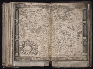
.jpg "Ms. Lat. 463, fol. 81v-82r, kaart van Gallië, België, Lyon en Aquitanië")
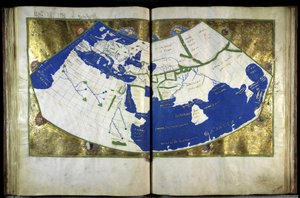
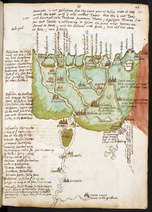
.jpg "Ms Lat 463 f.111v-112r Kaart van Fenicië, Mesopotamië en Babylon")

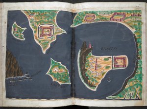
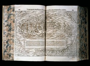
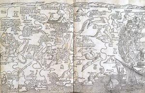
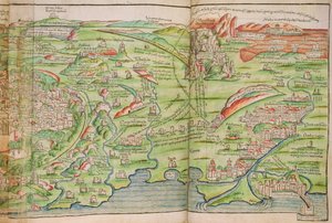
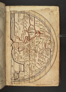
.jpg "Kaart van Noordoost-Brazilië")
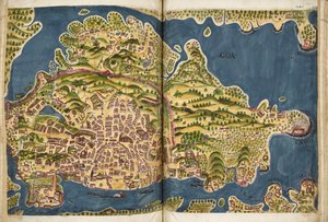
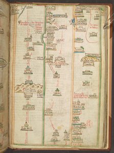
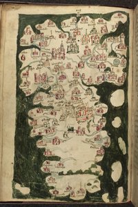
.jpg "Kaart van Schotland door John Harding, c.1450")
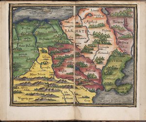
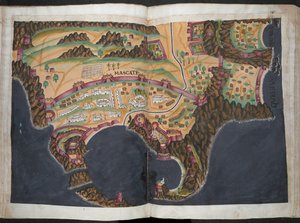
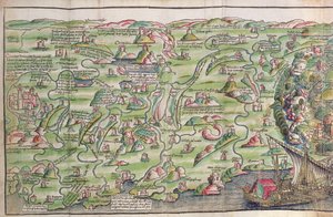
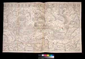
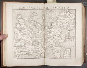
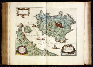
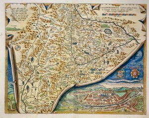
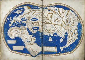
.jpg "Kaart van Afrika, plaat 18 uit een wereldatlas, 1486")
.jpg "Sint-Brendan en een sirene, uit de Duitse vertaling van Navigatio Sancti Brendani Abbatis, ca. 1476")
 - (MeisterDrucke-110319).jpg "De hoer van Babylon, uit de Lutherbijbel, ca. 1530 (ingekleurde houtsnede)")

.jpg "Eland, 1860")
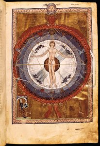
.jpg "Het engelenkoor. Miniatuur uit Liber Scivias van Hildegard van Bingen, ca. 1175")
.jpg "Kaart van de reis van de Argonauten, uit het «Theatrum Orbis Terrarum», 1603")
.jpg "Kaart van het eiland Martinique, 1599")
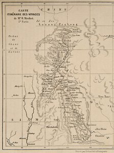
 - (MeisterDrucke-74866).jpg "Kaart van Galicië met de route van het Franse leger en een logboek, uit de campagne in januari")
.jpg "Kaart van West-Indië, Florida en Zuid-Amerika")
.jpg "Kaart van Londen, 1852")
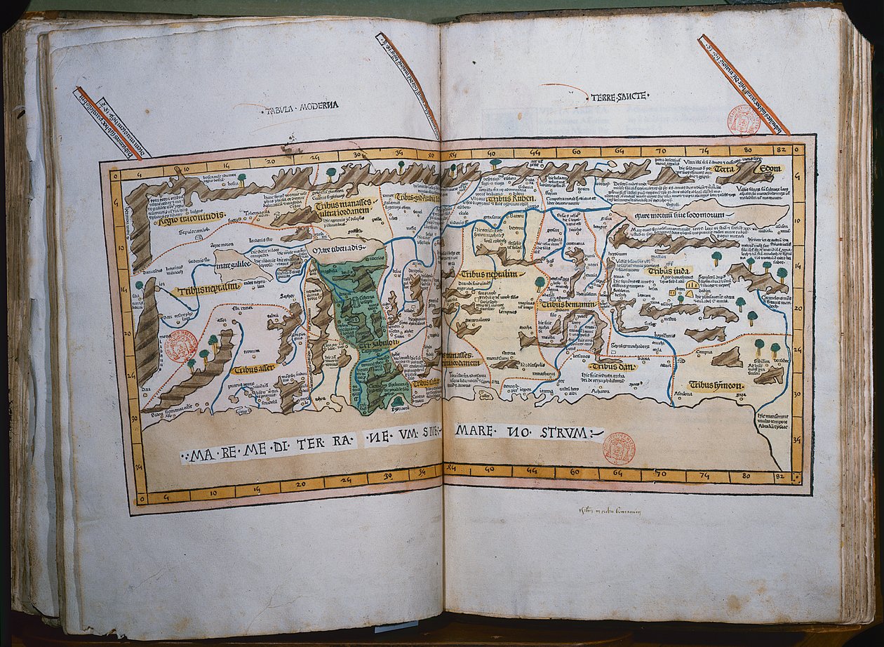
.jpg "Kaart van de stam van Aser, 1590")
.jpg "Fol. 41v, Kaart van Australië, uit")
.jpg "Ms. 986, deel 1, plattegrond en kaart van Cambrai, uit de “Atlas Lodewijk XIV”, 1683-88")
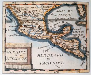
.jpg "Kaart van Frankrijk met de departementale indeling, 1798")
 (see also 330947) - (MeisterDrucke-79815).jpg "Het continent Afrika, uit een wereldatlas in 33 kaarten, Venetië, 1 september 1553")
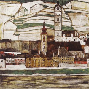
.jpg "Aeneas en de Cumaeïsche Sibille")
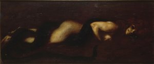
.jpg "Grace leest in Howth Bay")
 1922 - (MeisterDrucke-647283).jpg "Blauw, 1922")
.jpg "De magische cirkel")
.jpg "Landschappen, bloemen en vogels: pruimenboom, Qing-dynastie, 1780")
 from Choix des Plus Belles Fleur - (MeisterDrucke-248643).jpg "Rosa banksiae (Banks-roos), uit")
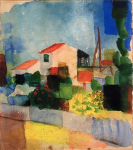
.jpg "Wandeling langs de zeekust, 1909")
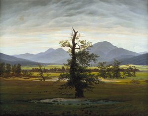
.jpg "Herfstlandschap met vier bomen")

 +43 4257 29415
 support@meisterdrucke.com
 Mo-Do: 7:00 - 16:00 | Fr: 7:00 - 13:00